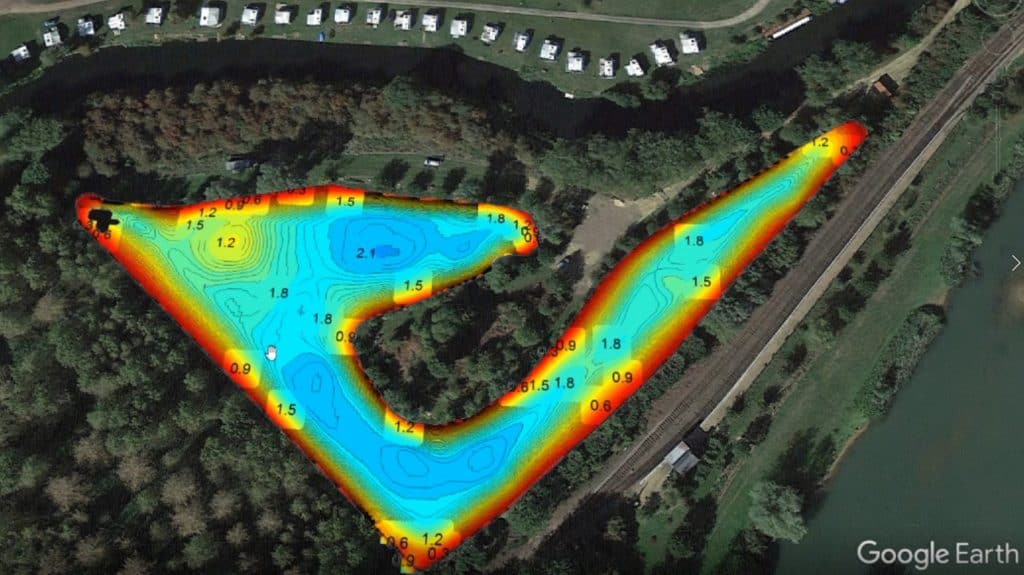
Recently Jake Reeds a Fisheries Officer with the Environment Agency Analysis & Reporting Team can to the lake and used his high resolution sonar equipment to survey the lake.
The depth data captured that day has been given to the club and we have prepared a downloadable map that you can print off and keep with you while fishing. Please note the depths are when the lake is full, any depths will vary depending on evaporation etc.
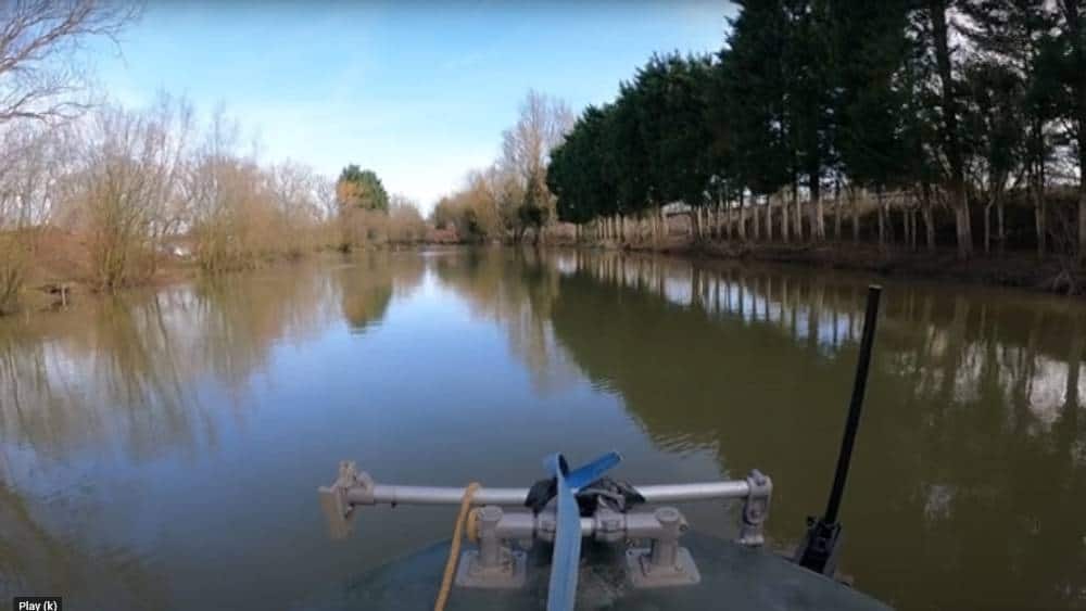
In addition, we have made a ‘fly-by’ video that shows the entire lake within a 3D satellite image landscape. You can pause and look at specific pegs around the lake.